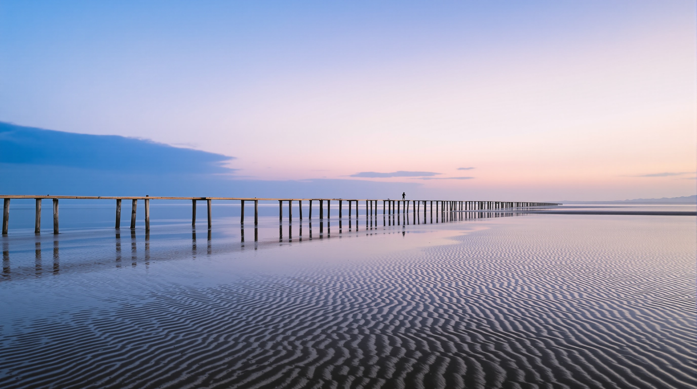
What makes the tide rise and fall
Tides are the slow breathing of the ocean, driven mainly by the gravitational pull of the Moon and, to a lesser extent, the Sun. On our coast there are usually two high tides and two low tides in roughly every twenty-four hours and fifty minutes, which is why the times shift a little later each day. The difference in height between high and low water — the tidal range — can be several metres along the Sussex shore.
Spring tides and neap tides
Twice a month, around the new moon and the full moon, the Sun and Moon pull in line and the tidal range is at its greatest: these are spring tides (nothing to do with the season). The water comes in higher and goes out lower, and the currents run harder. A week later, at the half-moons, the pulls partly cancel and you get neap tides, with a smaller range and gentler streams. Knowing whether you are on a spring or a neap tide tells you how much beach you will have — and how strongly the water will move.
Tidal streams and why they matter
As the tide floods and ebbs, huge volumes of water move along the coast, creating tidal streams — currents that can run faster than you can swim. Around headlands like Beachy Head, and near harbour entrances and groynes, these streams accelerate and can become dangerous. A swimmer or paddler who ignores them can be carried a long way from where they started. Tidal streams are a different thing from the wind-driven rip currents described on our beach safety page, but both demand the same respect.
The cut-off trap
The most common tidal danger on this coast is deceptively simple: getting cut off by a rising tide. Beneath the chalk cliffs at Birling Gap and along parts of the shore, a wide, inviting beach at low water can vanish entirely at high water, leaving no way back up. People explore out along the sand, lose track of time, and turn round to find the sea has closed the door behind them. Always check the time of the next high tide before you set off, give yourself a wide margin, and never assume you can climb the cliffs to escape — the chalk is loose and deadly.
How to read a tide table
A tide table lists the times and heights of high and low water for each day at a given port. To use one well:
- Make sure the table is for a port near you — times vary along the coast.
- Check whether the times are in GMT or BST and adjust for the season.
- Note the height, not just the time: a big spring high tide behaves very differently from a modest neap one.
- Plan to be well clear of any cut-off beach at least an hour before high water.
Reliable, official predictions are published by the UK Hydrographic Office’s EasyTide service, and you should always pair the tide with the weather: check the Met Office marine and coastal forecast for wind and sea state before any trip on or near the water. Wind against tide can turn a calm-looking sea rough very quickly.
Respect the clock
None of this is complicated, and none of it takes the pleasure out of a day by the sea — quite the opposite. A glance at the tide table and the forecast, and a sensible margin of time, is all it takes to keep the coast on your side.